
In the world of construction, mining, and resource management, accurate and efficient stockpile reporting is crucial. Knowing the exact quantities of materials on a site, whether it’s aggregates, minerals, or other valuable resources, is essential for planning, logistics, and cost control. Traditional methods of stockpile measurement can be time-consuming, labor-intensive, and prone to errors. However, with the advent of drone technology, volumetrics reporting has been revolutionized.
In this comprehensive article, we will delve deep into the world of optimizing stockpile reporting with drone volumetrics. We’ll explore the benefits, techniques, and considerations involved in harnessing the power of drones for accurate stockpile measurements. So, let’s take flight into the fascinating realm of drone-based volumetrics.
The Importance of Accurate Stockpile Reporting
Before we dive into the specifics of using drones for stockpile reporting, it’s essential to understand why accuracy in this field is of utmost importance. Whether you’re managing a construction project, a mining operation, or any industry that relies on stockpile materials, having precise data about the quantities on hand is essential for:
- Cost Control: Accurate measurements help in efficient allocation of resources and prevent over-purchasing or under-stocking of materials.
- Project Planning: Proper planning requires knowing the available stock and projecting future needs accurately.
- Logistics: Optimizing transport and logistics to move materials from one location to another efficiently.
- Compliance: Meeting regulatory requirements often involves reporting accurate stockpile data.
- Profitability: Maximizing profitability by reducing waste and optimizing resource utilization.
Traditional Stockpile Measurement Methods
Before drones came into the picture, stockpile measurement relied on manual methods that had several limitations:
- Visual Estimation: Eye-balling stockpiles from ground level, which often leads to inaccuracies due to uneven terrain and occluded views.
- Surveying: Traditional land surveying techniques involve physical measurement, which is slow, labor-intensive, and can be expensive.
- LiDAR Scanning: Light Detection and Ranging (LiDAR) technology is effective but can be costly and time-consuming.
- GPS and Total Stations: These tools can provide accurate measurements but are expensive and require skilled operators.
Enter Drone Volumetrics
Drones have emerged as a game-changer in the world of stockpile measurement. Using unmanned aerial vehicles equipped with high-resolution cameras, LiDAR sensors, and advanced software, drone volumetrics offer several advantages:
1. Speed and Efficiency
Drones can capture data rapidly, covering large areas in a fraction of the time it takes for traditional methods. This efficiency not only saves time but also reduces labor costs.
2. Precision and Accuracy
Modern drones are equipped with GPS and LiDAR technology that ensures precise measurements. They can capture detailed data points, even in complex terrain, resulting in highly accurate volumetric calculations.


3. Safety
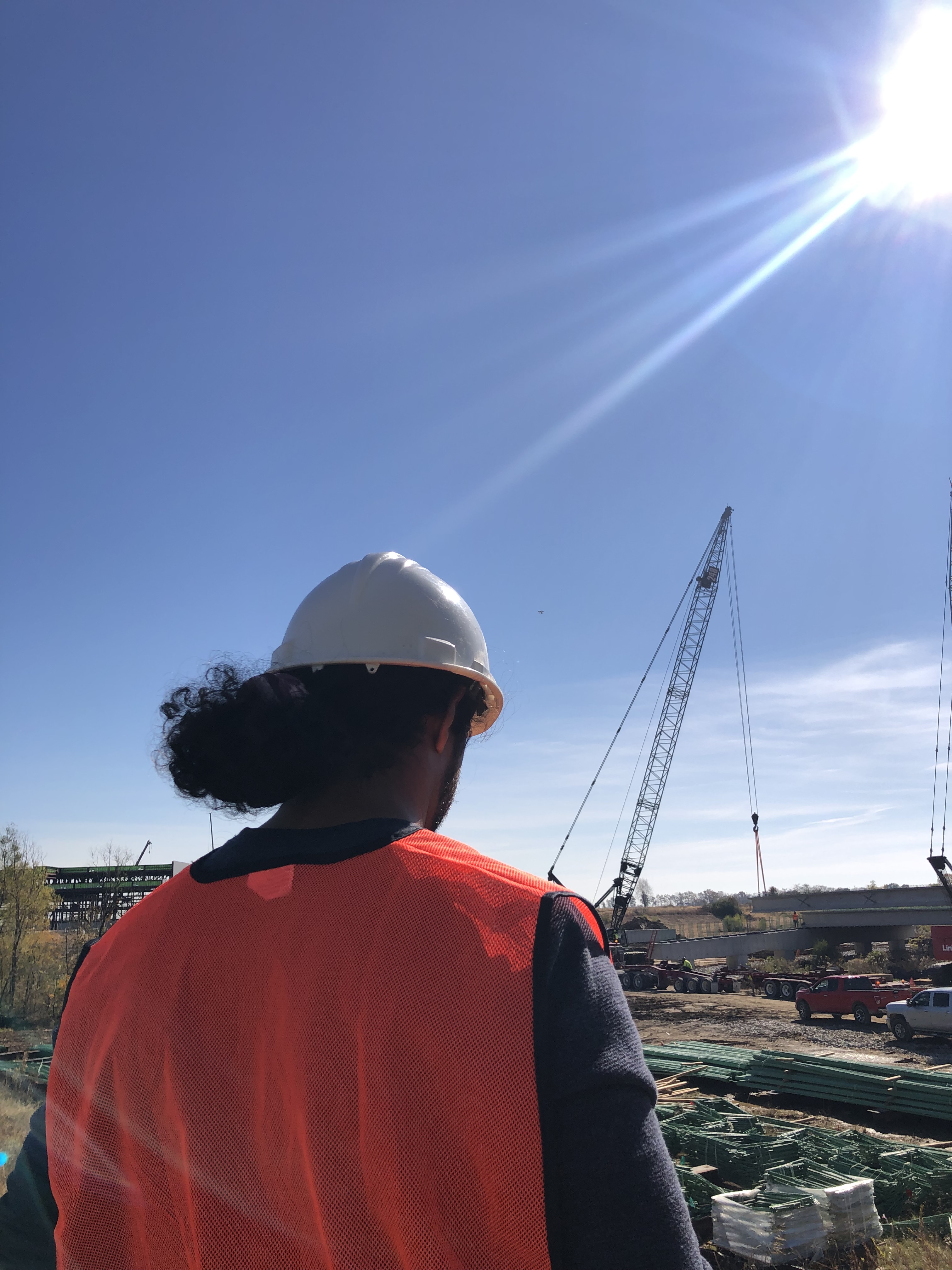
Eliminating the need for workers to climb stockpiles or navigate challenging terrain improves safety on-site.
4. Cost-Effectiveness
While initial setup costs for drones and software may seem significant, the long-term savings in time and labor make drone volumetrics a cost-effective solution.
5. Versatility
Drones are not limited to stockpile measurements alone. They can be used for a wide range of applications, including topographic mapping, site inspection, and progress monitoring.
How Drone Volumetrics Work
Now, let’s dive into the mechanics of how drone volumetrics work:
1. Data Capture
- Camera Imagery: Drones capture high-resolution images of the stockpile and its surroundings from multiple angles. This imagery serves as the visual data required for calculations.
- LiDAR Scanning: Some advanced drones are equipped with LiDAR sensors that emit laser pulses to measure distances accurately. LiDAR data enhances the precision of volumetric calculations.
2. Photogrammetry
Photogrammetry is the process of creating 3D models from 2D images. Specialized software uses the drone-captured images to create a detailed 3D model of the stockpile and its surroundings.
3. Volume Calculation
Once the 3D model is generated, software calculates the volume of the stockpile by comparing its current shape to a known base surface (usually a Digital Terrain Model). This process results in accurate volumetric data.
4. Reporting
The final step involves generating reports that provide detailed information about the stockpile, including volume, dimensions, and changes over time. These reports are valuable for decision-making and compliance.
Considerations for Drone Volumetrics
While drone volumetrics offer significant advantages, there are some important considerations to keep in mind:
1. Regulatory Compliance
Ensure that you are aware of local regulations regarding drone usage. Obtain the necessary permits and licenses to operate drones legally.
2. Equipment Selection
Choose the right drone for the job. Consider factors like payload capacity, flight time, and the availability of LiDAR sensors based on your specific needs.
3. Data Processing
The quality of volumetric reports depends on the accuracy of data processing. Invest in high-quality software and skilled technicians to process the data accurately.
4. Data Storage and Security
Stockpile data is sensitive and valuable. Ensure that data is securely stored and protected from unauthorized access.
Benefits of Working with Professionals
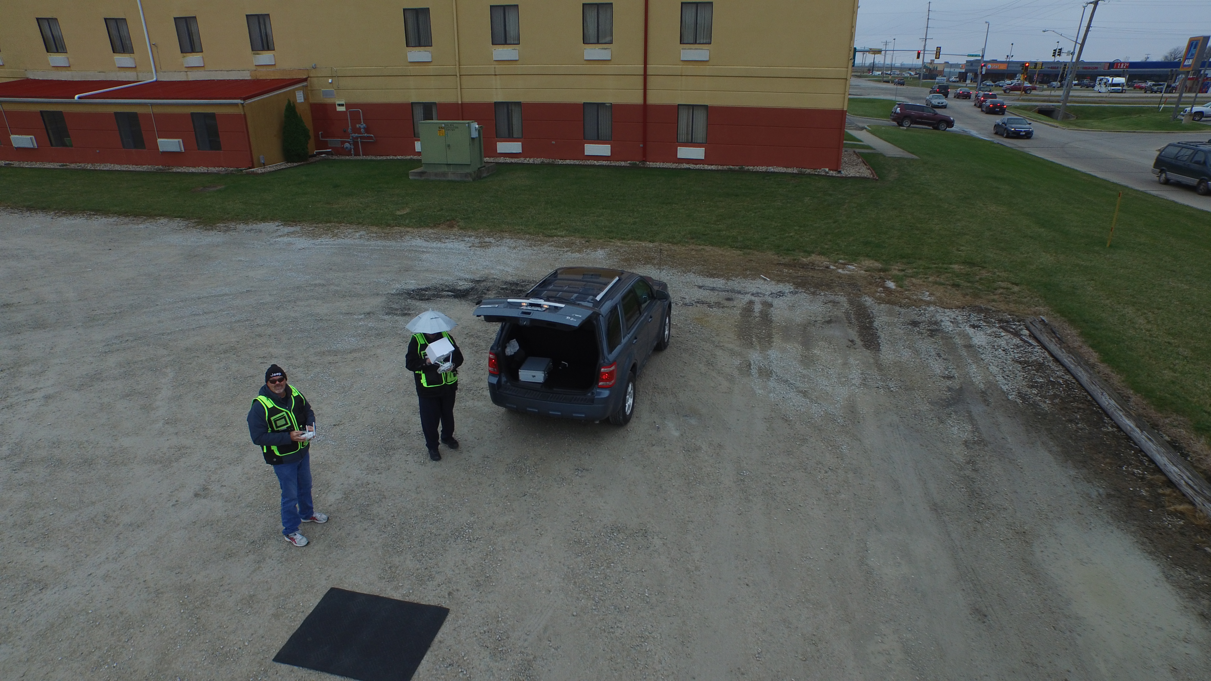
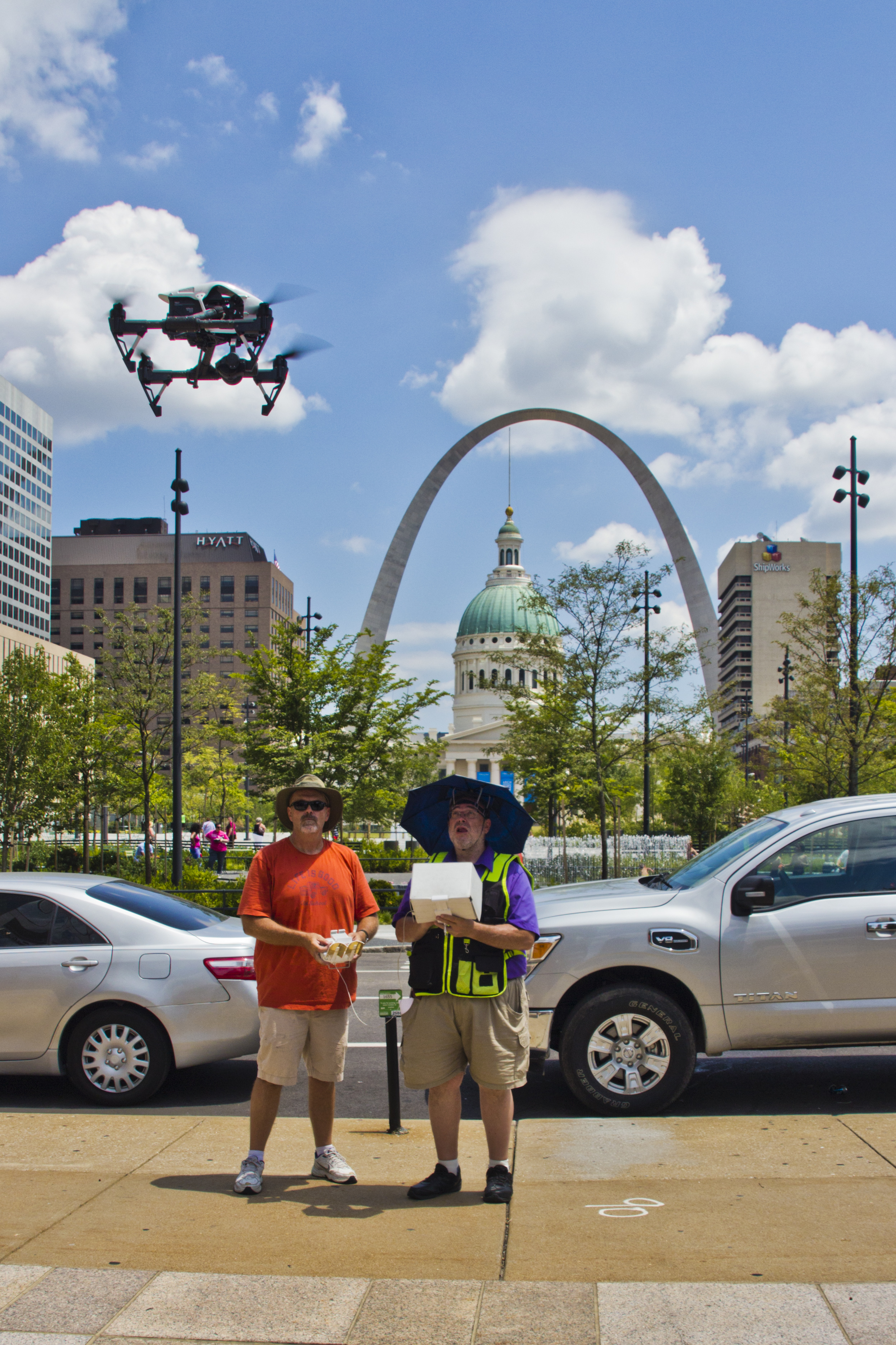
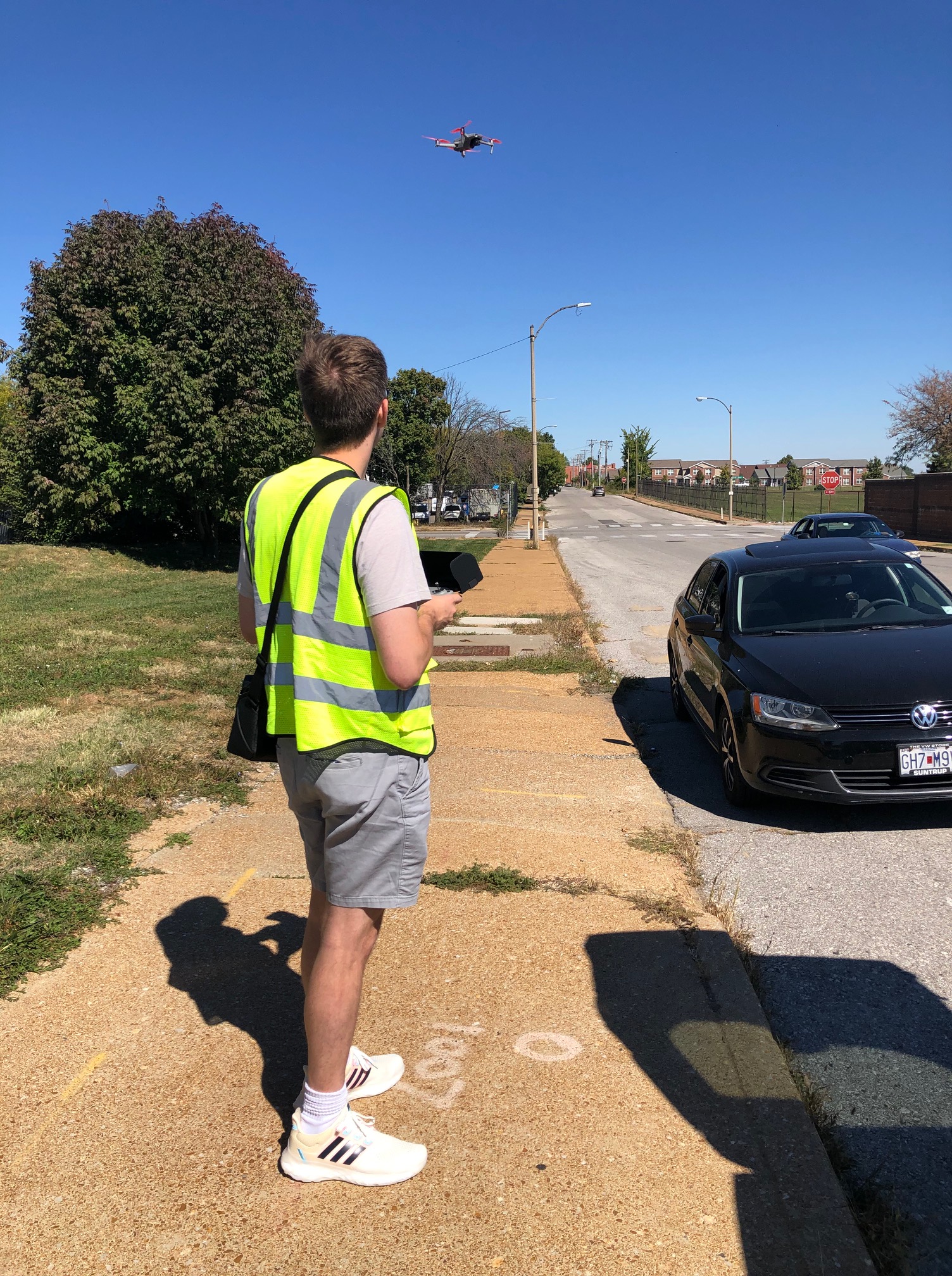
While drone volumetrics technology is accessible, working with professionals like Drones St. Louis provides additional benefits:
1. Expertise
Our experienced drone pilots and technicians are well-versed in the intricacies of stockpile measurement. We know how to capture data accurately and process it effectively.
2. Advanced Equipment
Drones St. Louis utilizes state-of-the-art equipment, including drones with LiDAR sensors, to ensure the highest level of accuracy in volumetric reporting.
3. Comprehensive Services
We offer full-service studio and location video recording and editing, as well as photography services. This means we can customize your video productions for diverse types of recording needs, and even repurpose your productions to gain more traction.
4. File Types and Editing
Our team is well-versed in all file types and styles of drone media software and editing. We can tailor the deliverables to your specific requirements.
5. Local Expertise
Being based in St. Louis, we understand the unique challenges and opportunities that the local terrain presents. Our knowledge of the area ensures accurate and efficient stockpile reporting.
Our Experience as a Full-Service Drone Production and Post-Production Company
As a full-service drone video creation company, Drones St. Louis has worked with many companies in the St. Louis area to create ground and aerial videos for their communication needs. We have experienced drone videographers, producers, and editors to create insightful volumetric reporting.
Our dedication to precision, efficiency, and creativity has earned us a reputation for excellence in the industry. Whether you need accurate stockpile reporting, stunning aerial footage, or customized video productions, we have the right equipment and creative crew service experience to bring your vision to life.
In conclusion, drone volumetrics are a game-changer in the field of stockpile reporting. They offer speed, accuracy, and cost-effectiveness that traditional methods simply can’t match.
